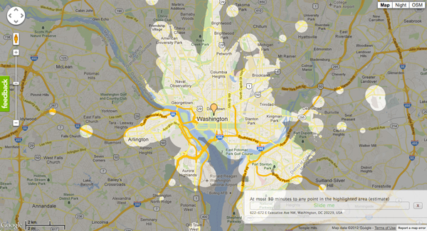
These blobs represent the extent that you’d be able to travel on public transit in 30 minutes. The 20 maps below were made by Mapnificent, a new website created by Stefan Wehrmeyer that suck in Google Maps-friendly transit data to show just how much of the city you can cover in however much time you want to spend. A handy slider allows you to change your allotted time, and your starting point can be anywhere on the map.
via 30 Minutes on Mass Transit in 20 World Cities – Commute – The Atlantic Cities.
