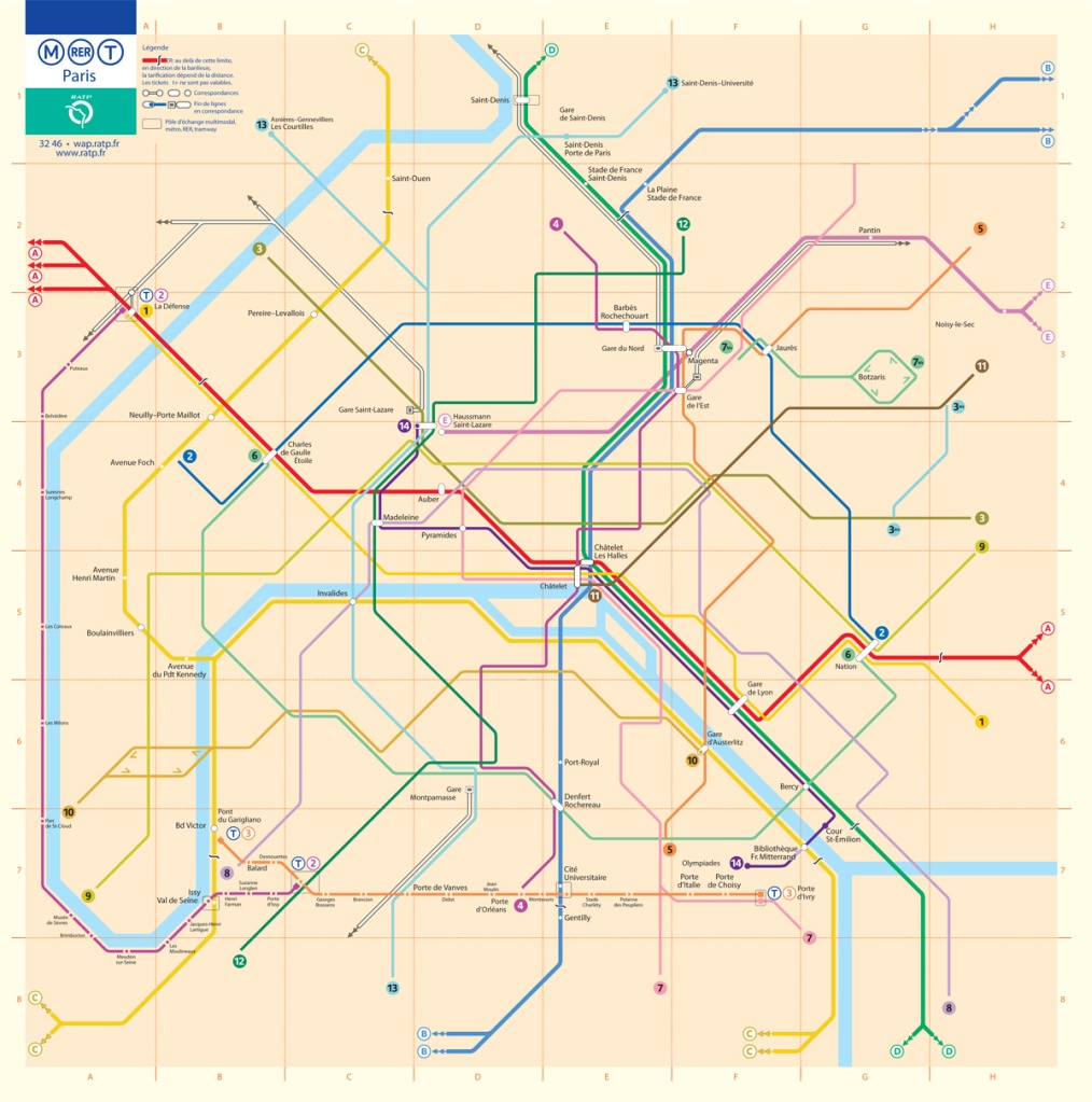
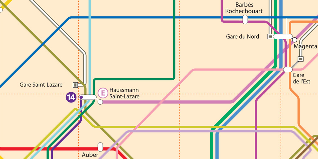
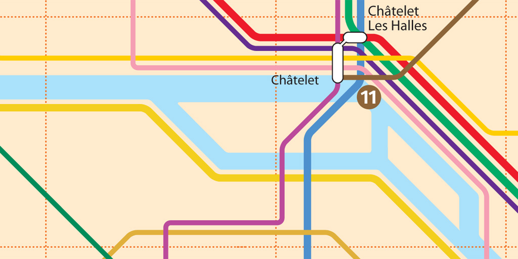
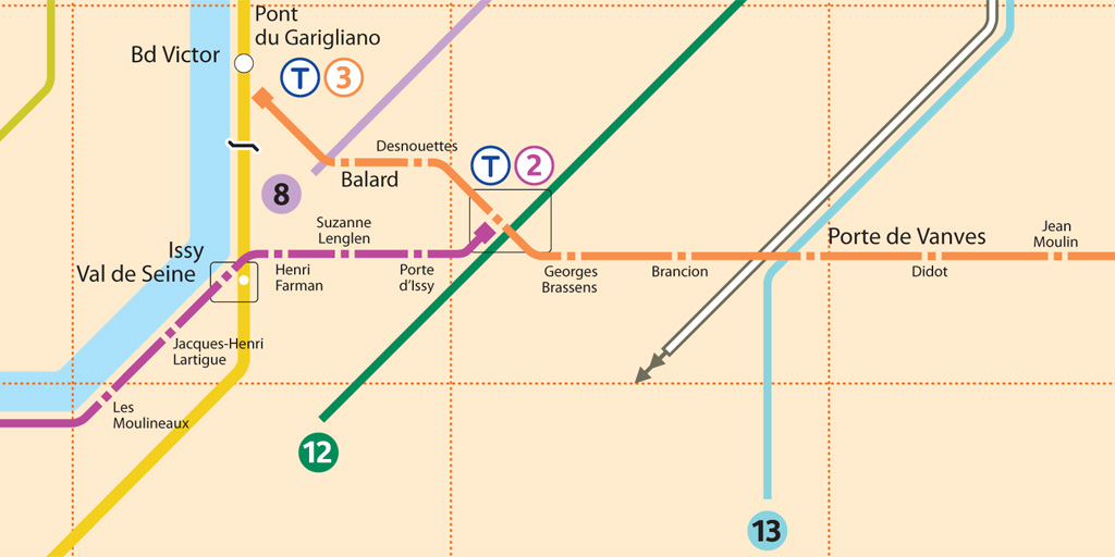
This is the fifth installment of my Accessible Transit Map series. Intended as a replacement map for those with disabilities, this map illustrates which station stops on the Paris Metro are accessible for those with strollers or with a disability. As you can see below, very few stations are accesible in the City of Light:
Opened in 1900, network’s sixteen lines are mostly underground and run to 214 km (133 mi) in length with 301 stations, of which 62 are interchange stations. Just 50 Metro/RER stations within central Paris have elevators and are accessible for wheelchairs or for strollers. Just like London’s Underground the Metro was largely built when accessibility wasn’t a concern; unfortunately the RATP doesn’t match Transport for London’s excellent Accessibility guidelines, offering only a page of platitudes:
Accessibility for persons with reduced mobility. It is the RATP’s ambition to provide every traveller with a transport system suited to his needs from end to end.
As in previous maps, I have removed all stations which are not handicapped accessible. Maps represent corporeal objects, through convenient fictions – a representation which works for a majority of its users. But where are the maps for the disabled or those require additional accessibility? Wouldn’t the mother with newborn in stroller need a different map then those without the need to lug all the accoutrement’s of childhood? Equally, those in a wheelchair require a map different then one which the walking can use. I decided to rectify the situation by editing the maps of major metropolitan transportation systems, in order to create a map for those who are not represented on the official map.
You may download the Accessible Transit Paris Metro map here:
Other Accessible Transit Maps for your perusal:


